The Best Waterfall Photo Spots around Multnomah Falls in United States

Explore Waterfall pictures of Multnomah Falls with the travel spots on a map
12 Waterfall Spots of Multnomah Falls on a Map
Pictures of Waterfall on the interacive map of Multnomah Falls
Waterfall Spots and Pictures around Multnomah Falls
Discover popular destinations in Multnomah Falls with their travel guides
Multnomah Falls
Read the Travel guide View on Google Maps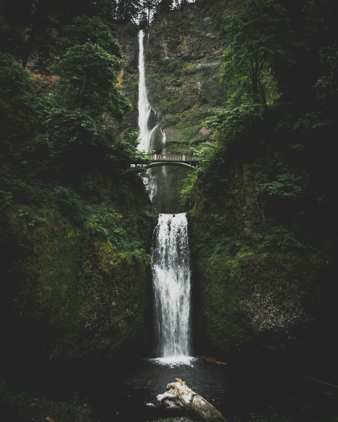
Benson State Recreation Area
Read the Travel guide View on Google Maps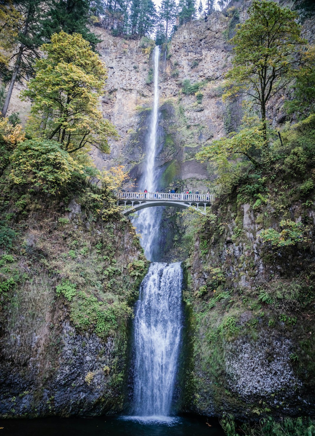
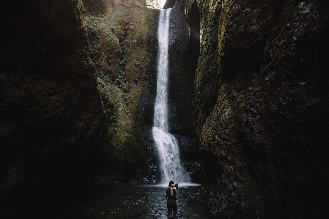
Oneonta Gorge
3 km away from Multnomah Falls
Read the Travel guide View on Google Maps
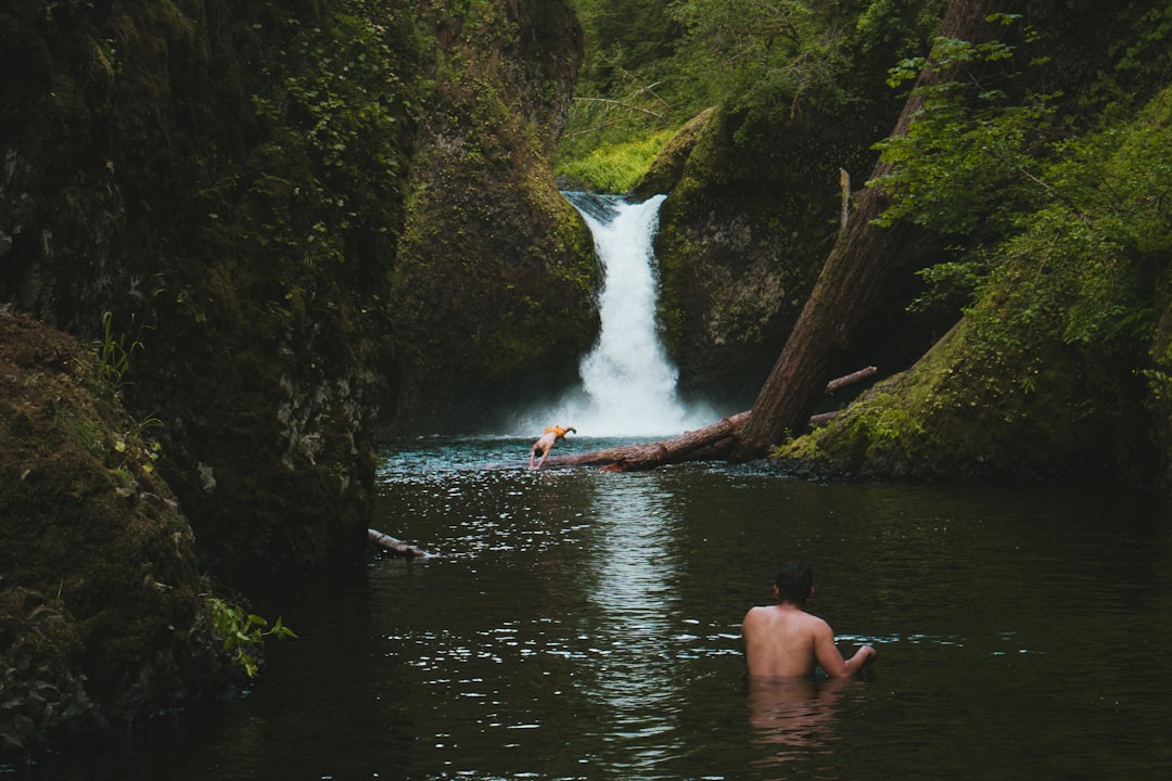
Punch Bowl Falls
18 km away from Multnomah Falls
Read the Travel guide View on Google Maps
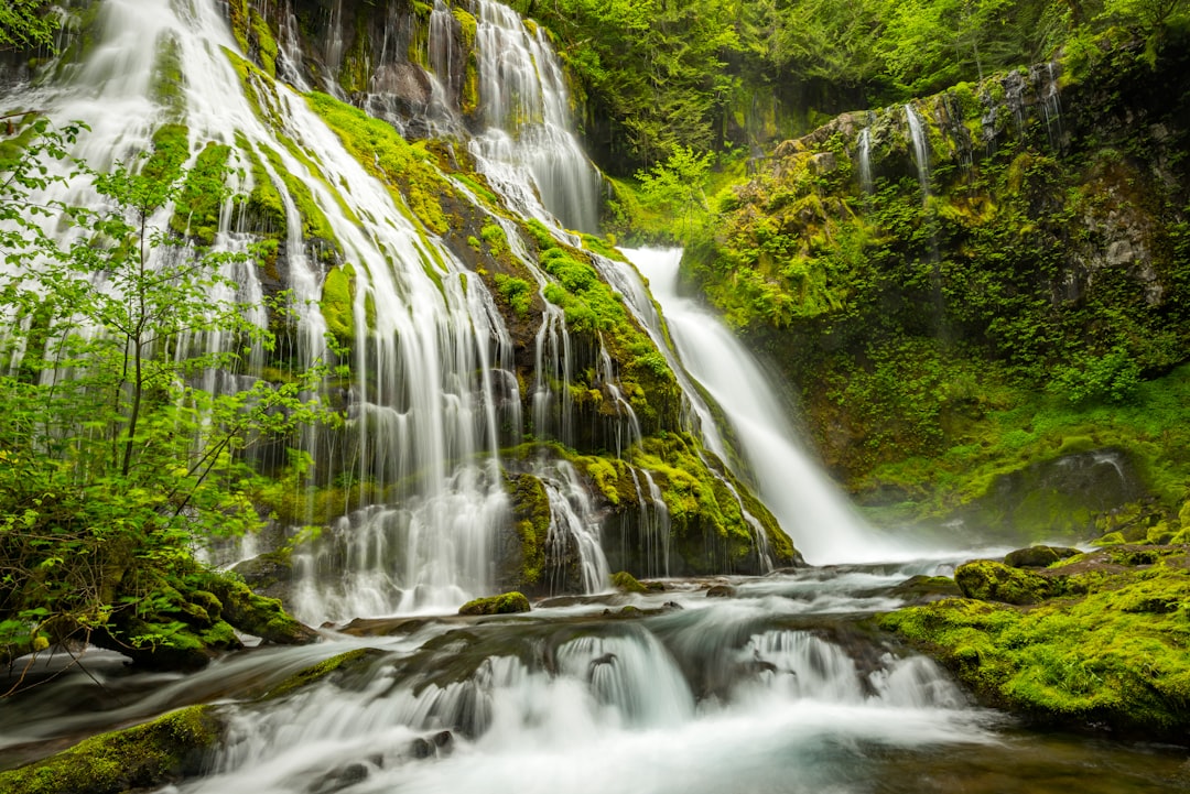
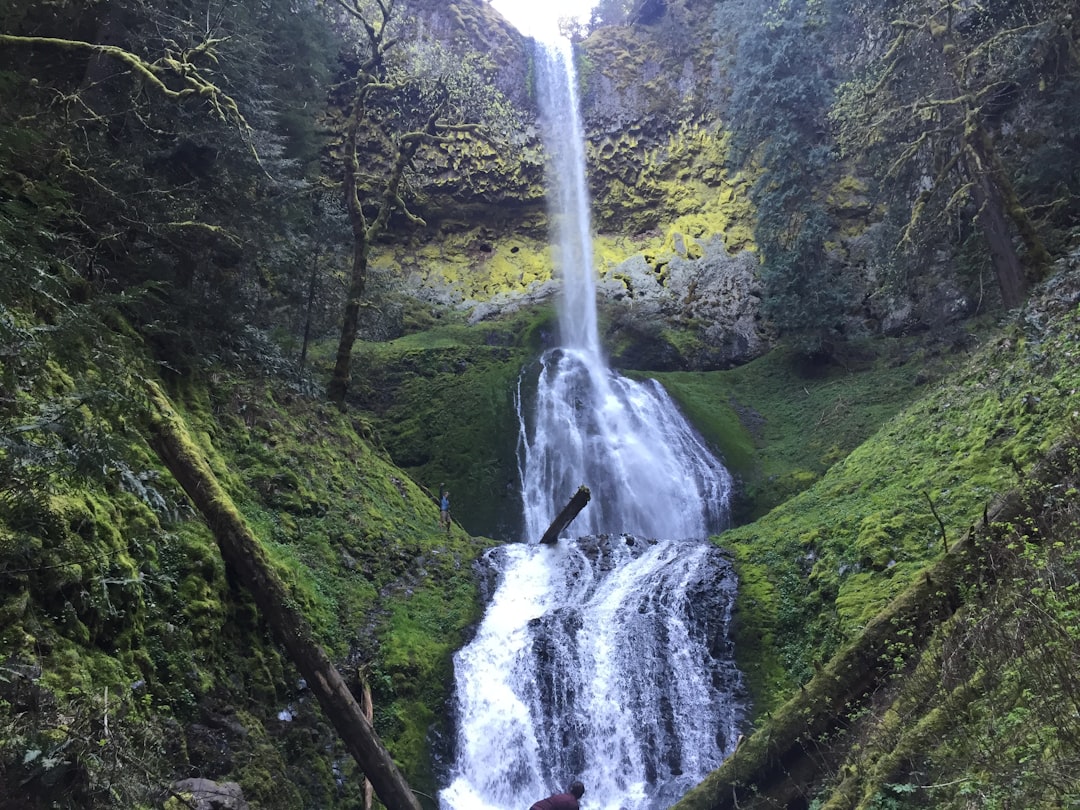
Panther Creek Falls
39 km away from Multnomah Falls
Read the Travel guide View on Google Maps
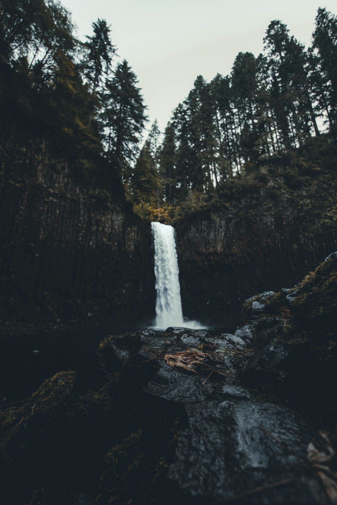
Falls Creek Falls
40 km away from Multnomah Falls
Read the Travel guide View on Google Maps
Portland
44 km away from Multnomah Falls
Read the Travel guide View on Google Maps

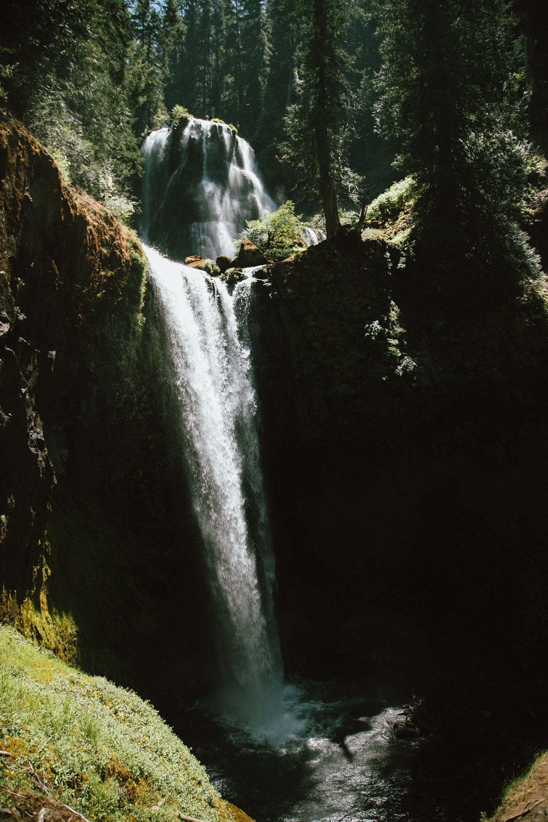
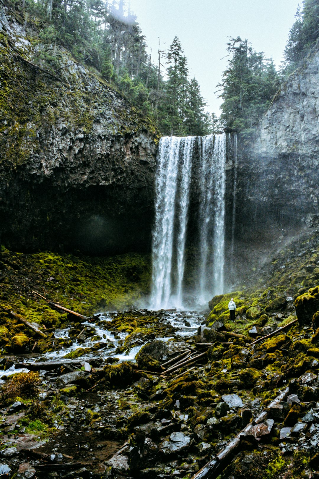
Tamanawas Falls
45 km away from Multnomah Falls
Read the Travel guide View on Google Maps
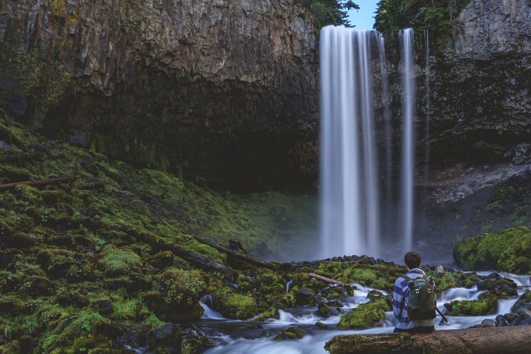
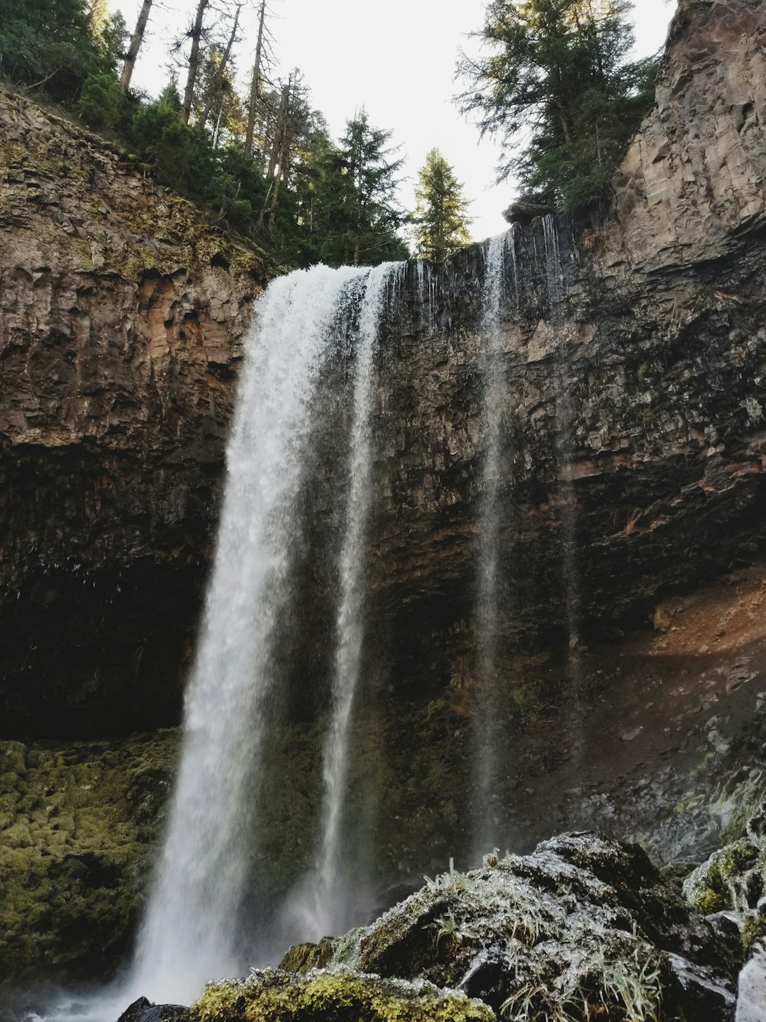
Tamanawas Falls Trail #650A
45 km away from Multnomah Falls
Read the Travel guide View on Google Maps
Pup Creek Waterfall
48 km away from Multnomah Falls
Read the Travel guide View on Google Maps
Abiqua Falls
80 km away from Multnomah Falls
Read the Travel guide View on Google Maps
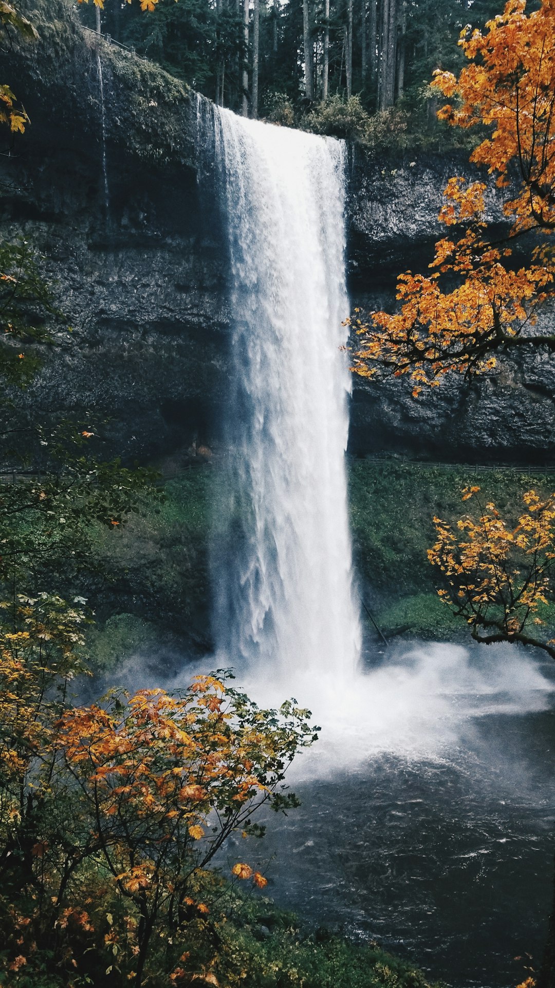
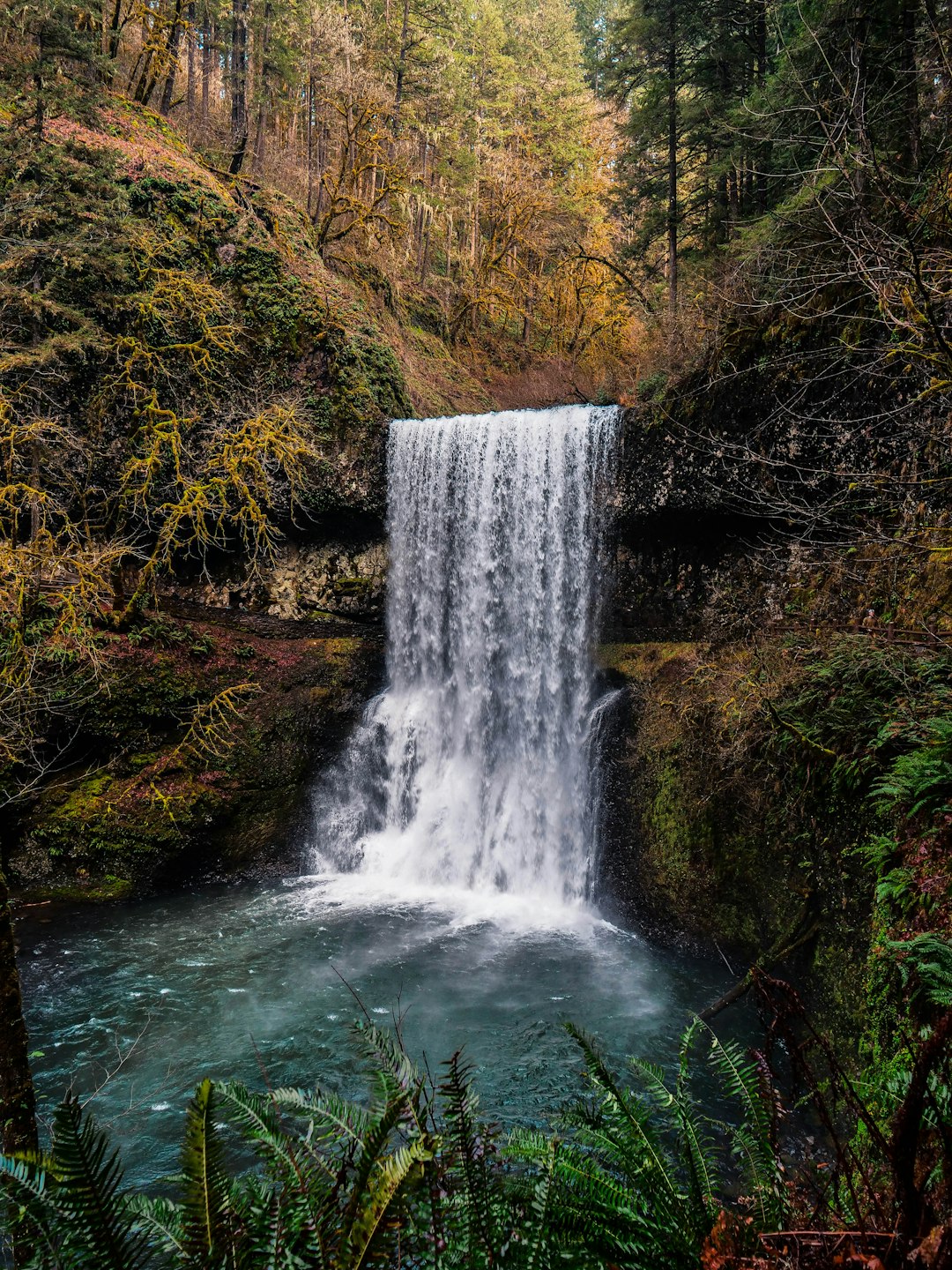
Silver Falls State Park
88 km away from Multnomah Falls
Read the Travel guide View on Google Maps
Book your Travel Experience in Multnomah Falls
Discover the best tours and activities in Multnomah Falls and book your travel experience today with our booking partners
Learn More about Multnomah Falls
Find Hotels in Multnomah Falls
Discover the best hotels around Multnomah Falls, United States and book your stay today with our booking partner booking.com